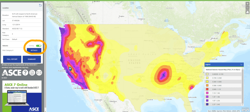
Wondering if there is a heat or contour map out there of S_SDS values. I understand there are low-resolution SM1 Maps in ASCE, and also the ASCE Hazard mapping tool to get site specific data. But I am sort of looking for combination of the two, to visually show the SDS values in high resolution. I have found similar tools , but are more on "hazard rating" or "probability of shaking" (
It seems that with all the mapping tools out there today, somebody must have done this.
Cheers.
It seems that with all the mapping tools out there today, somebody must have done this.
Cheers.

