Kohn J Phennedy
Industrial
- May 30, 2025
- 1
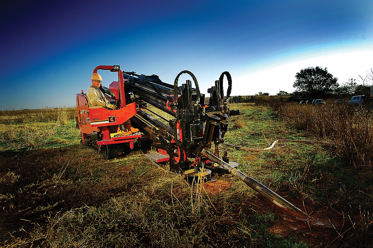
we've built a 4-wheeled machine which is paving a farm (rough surface, wheels might slide back and forth).
wheels are turned using two electric motors, with independent speed control for right and left wheels. (to be able to turn the machine to left or right slightly)
now we've faced a problem, that can (only) be solved by measuring the actual machine displacement on the soil, in some time intervals.
due to rough and unpredictable textures of the soil the wheels are rotating on, we can't measure paved distance from the wheels or motors themselves reliably. (as wheels rotations doesn't necessarily translate to a calculatable forward movement of the machine, and error value is undetermined.)
- no measurements from outside of the machine unit is available. (can't use observer cameras outside the machine, etc...)
- the machine can't leave behind any marker on the soil it is paving, and no length-measuring bands/lines are pre-installed in the farm.
- GPS data isn't accurate enough [ required accuracy is 2cm (~1 inch) ]
- the machine is moving forward continuously.
Is there any way for this machine to be able to measure its actual paved distance on the go, between two time points t1 and t2 ?
we considered attaching a tail wheel, getting dragged behind the machine, but accuracy requirement isn't met.
so it seems the most legitimate options are some electronic sensors/methods. (which is quite applicable if we knew what to use)
the machine is equipped with electric power sources, and low fps (5 frames/s) cameras than can capture soil surface (top view).
also there's quite powerful computational resources available in the control/analysis circuitry of the machine, in case a sensor might need it.
[keywords about sensors or measurement methods to search on, are welcomed]